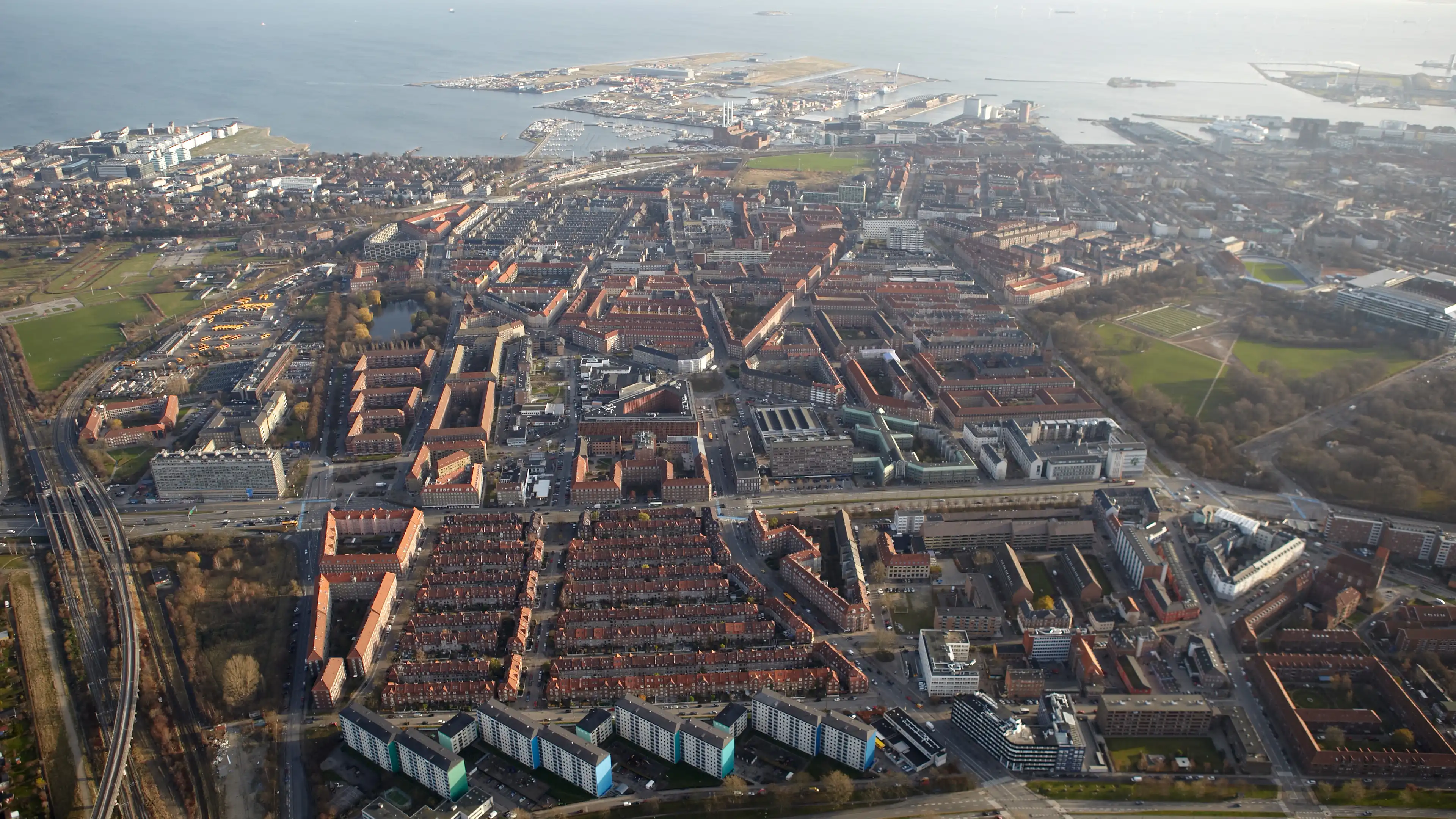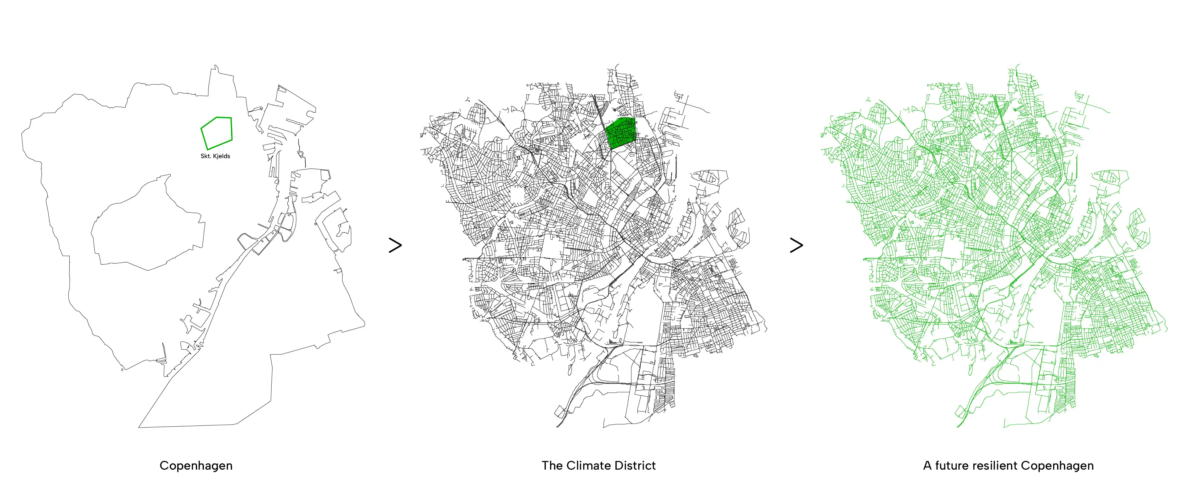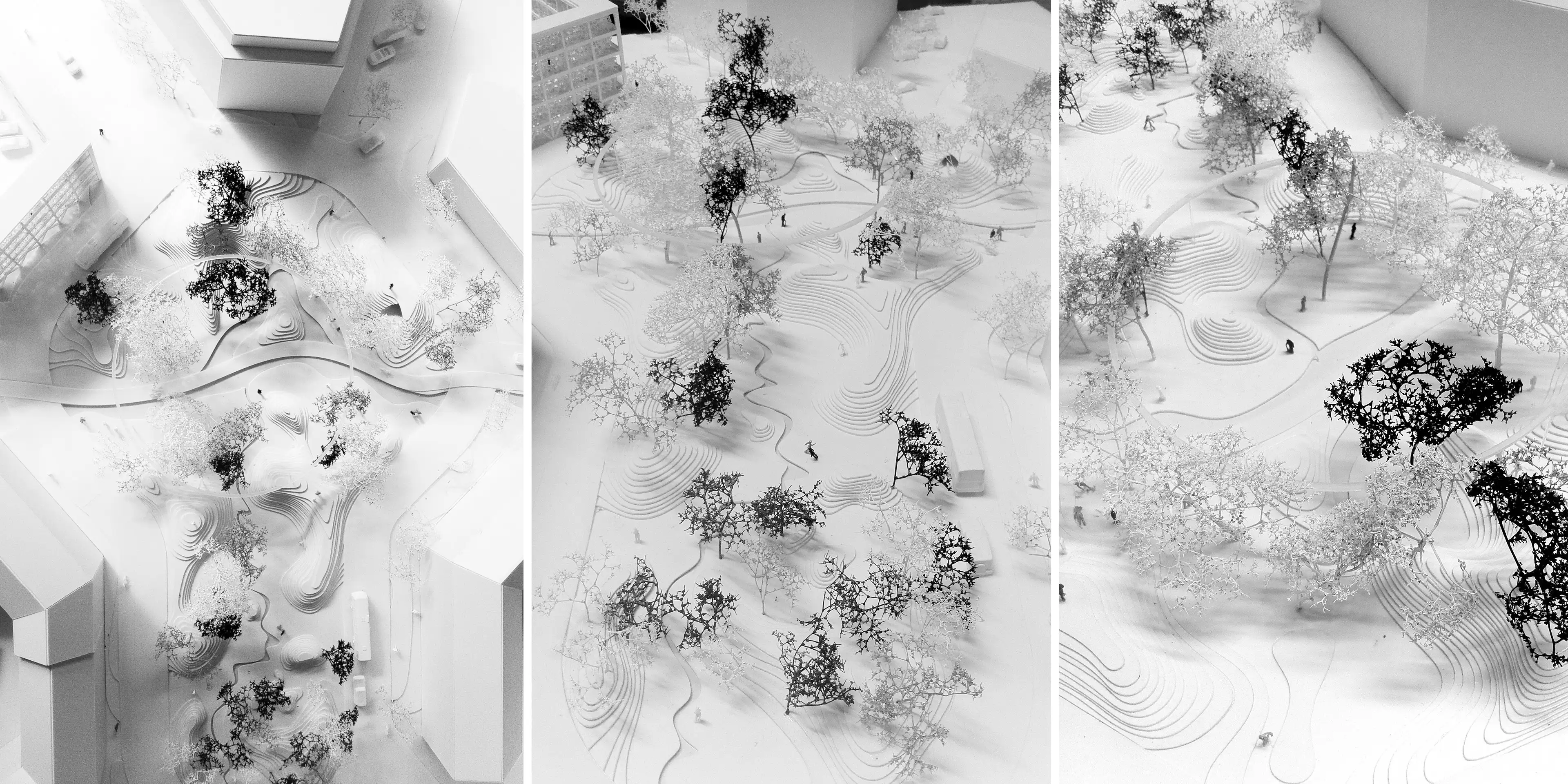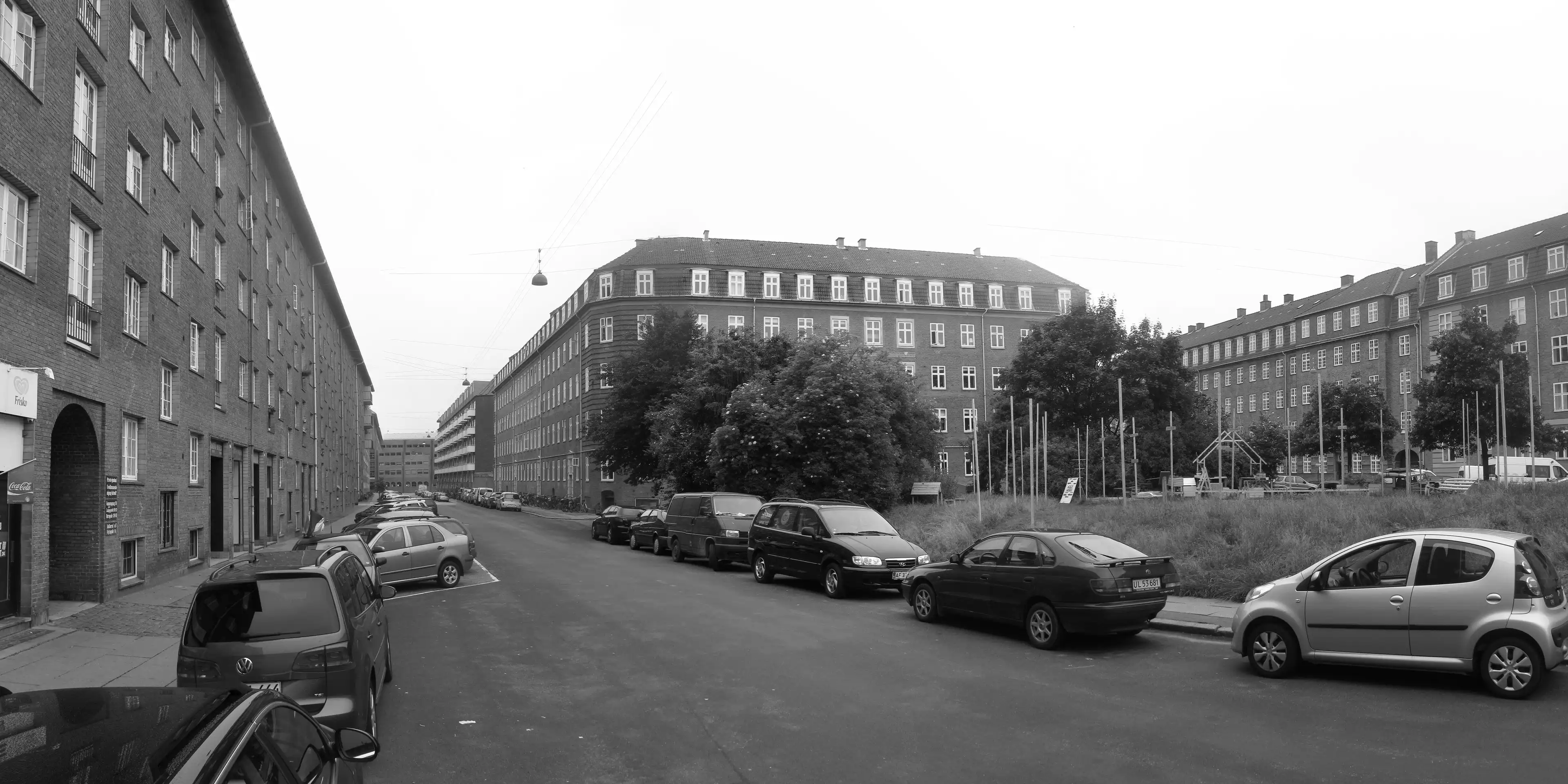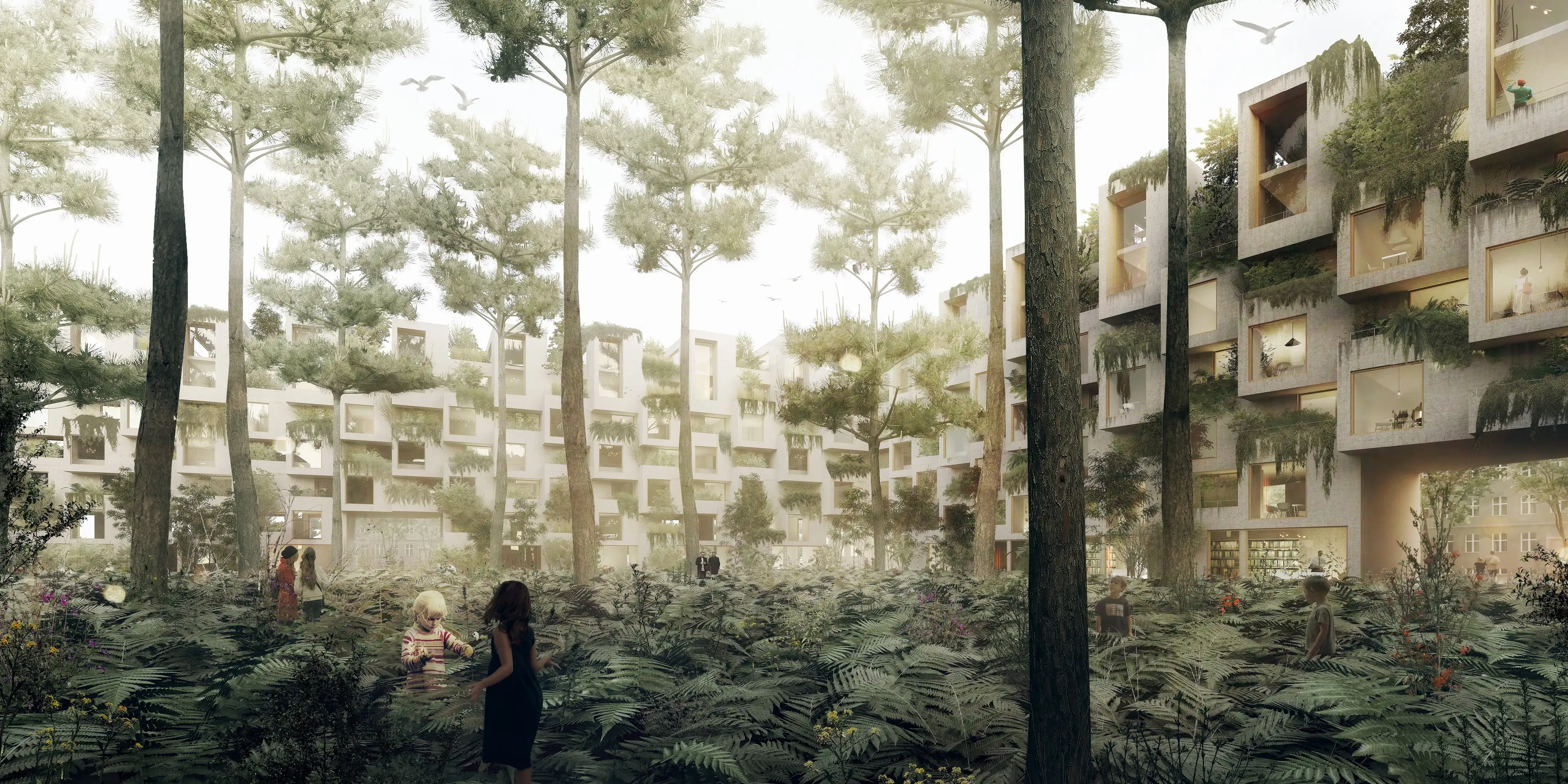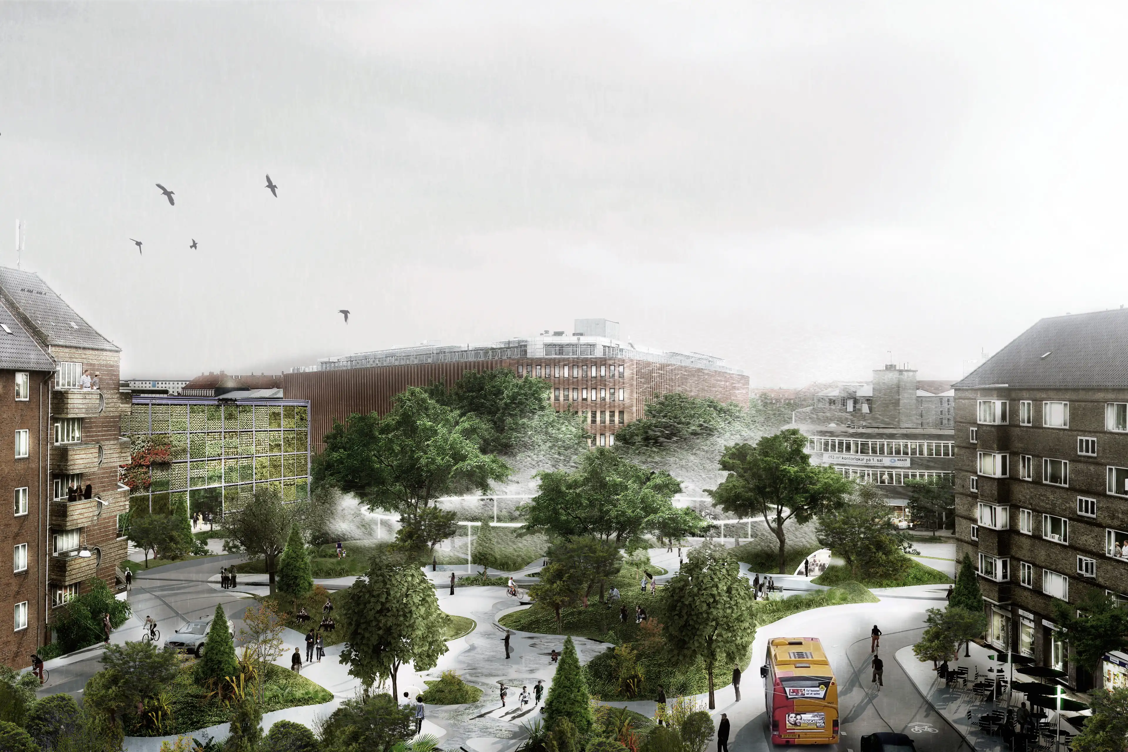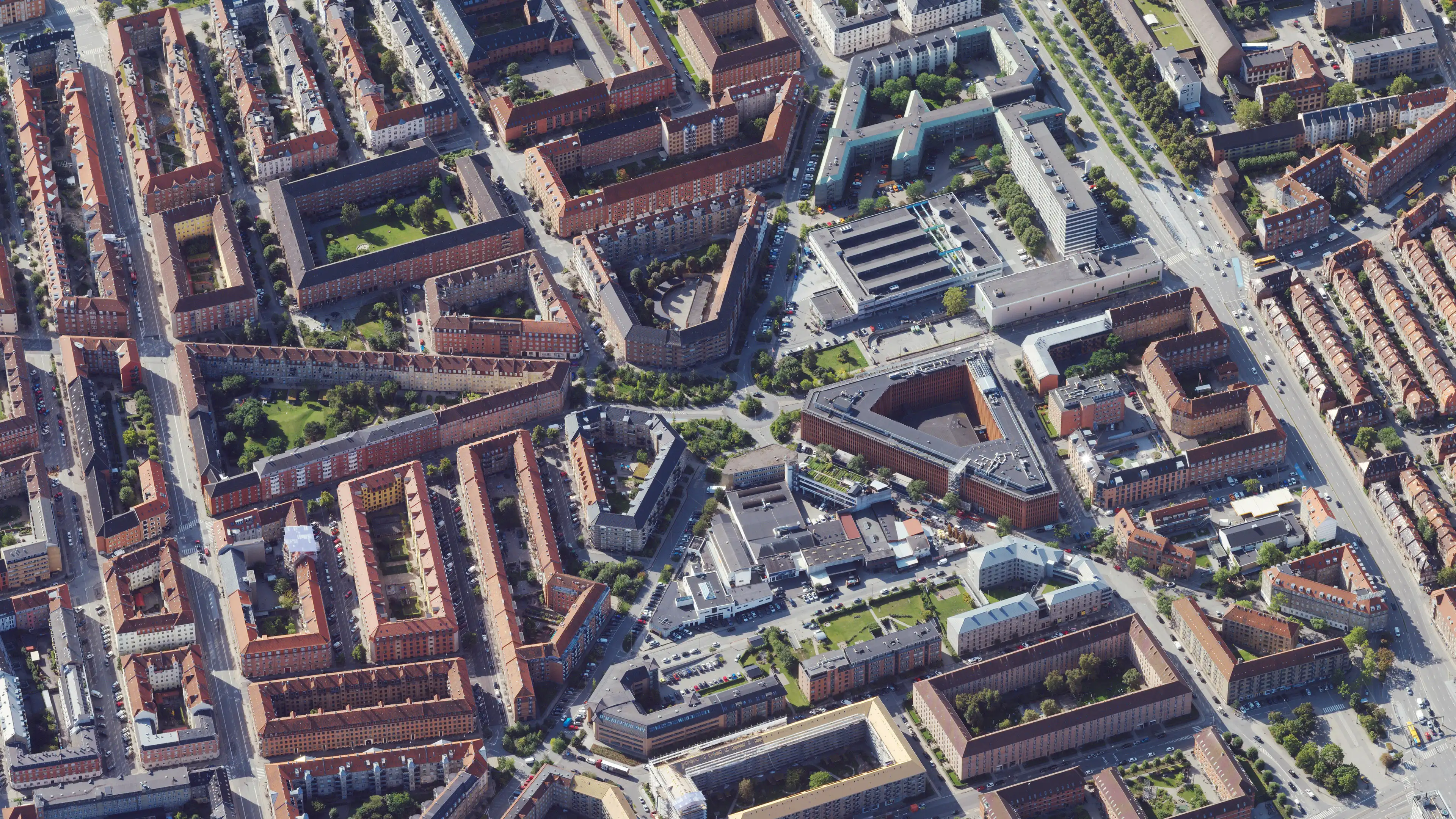
In 2011, a proposal for the 100-hectare Skt. Kjelds neighbourhood expanded the original brief for urban renewal into a larger question: how could an existing city adapt to a changing climate while becoming greener, more liveable and ecologically richer?
Two days after the competition deadline, Copenhagen was hit by an extreme cloudburst. Around 150 mm of rain fell within a few hours, flooding large parts of the city and exposing the vulnerability of its existing infrastructure. Skt. Kjelds was subsequently selected as Copenhagen’s first Climate District and was presented by the City of Copenhagen as the world’s first climate-adapted neighbourhood of its kind.
The project established a new premise: climate adaptation could become a driver of urban transformation rather than a hidden technical response.
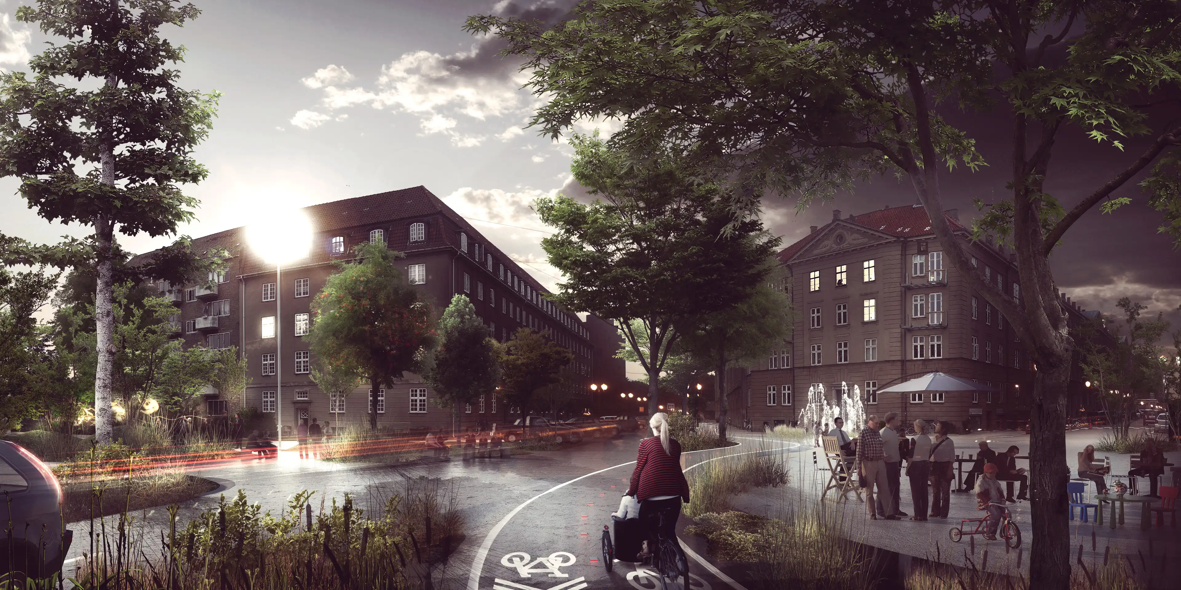
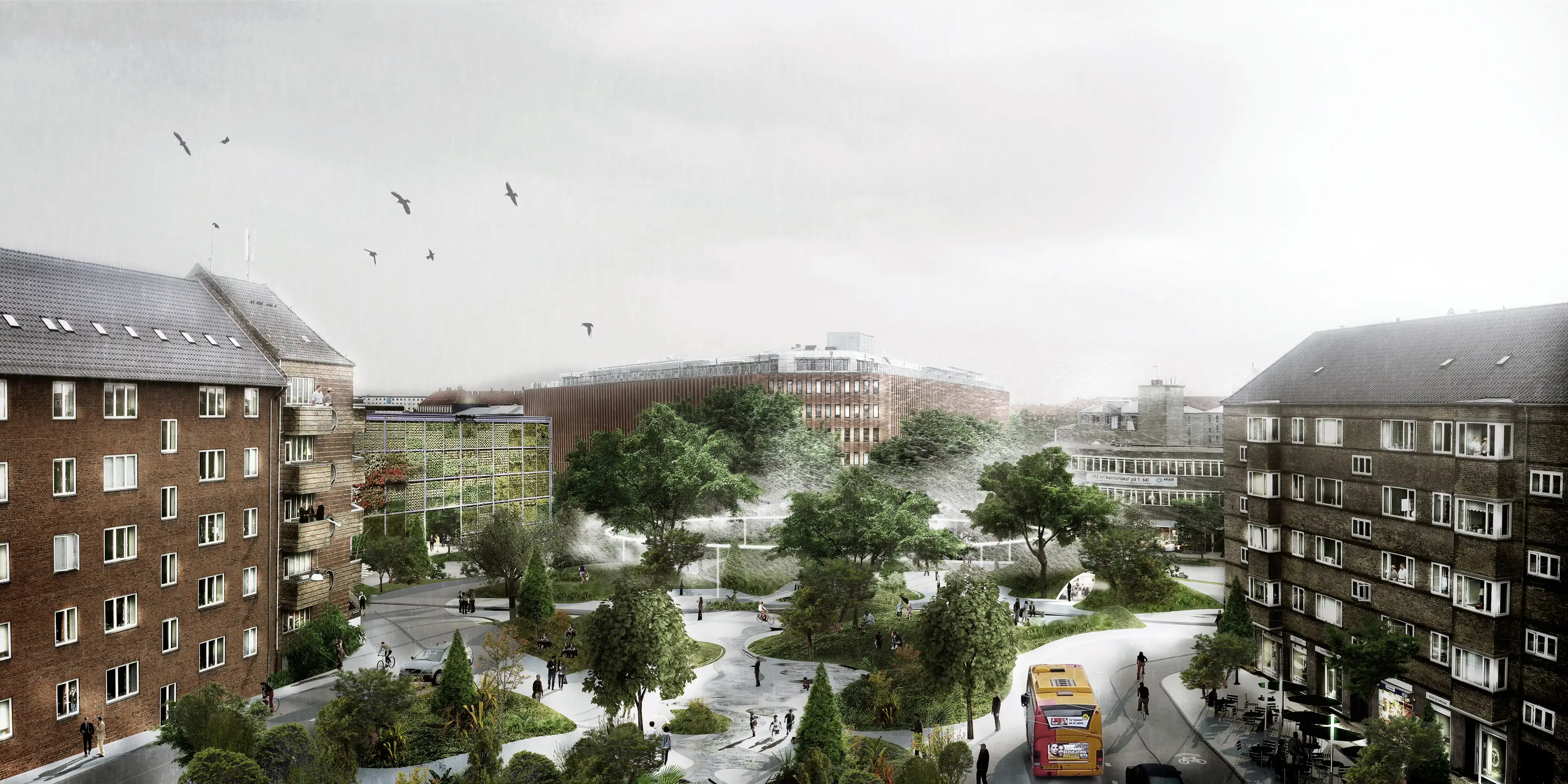
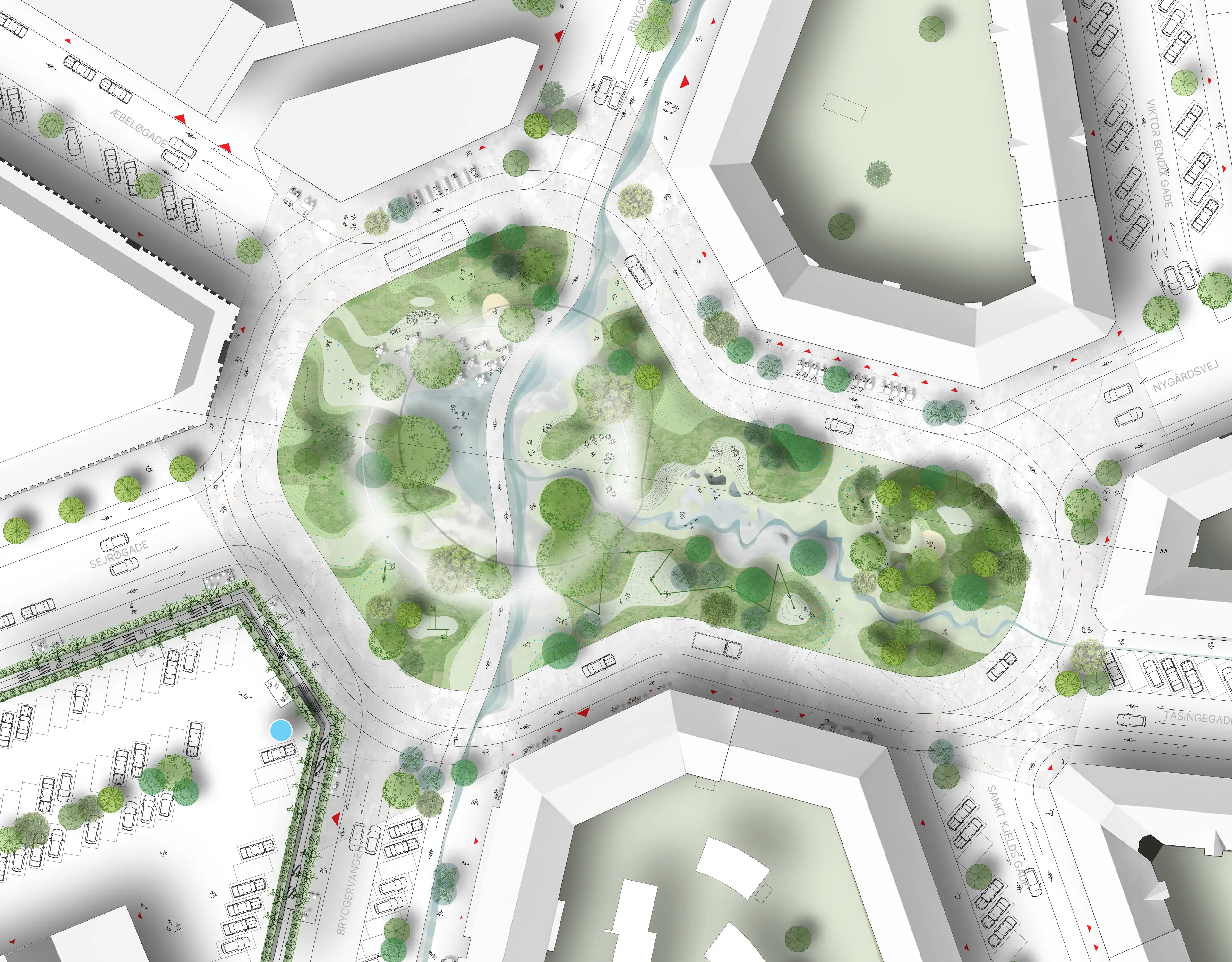
Instead of relying primarily on larger underground pipes, the project proposed managing water visibly at the surface.
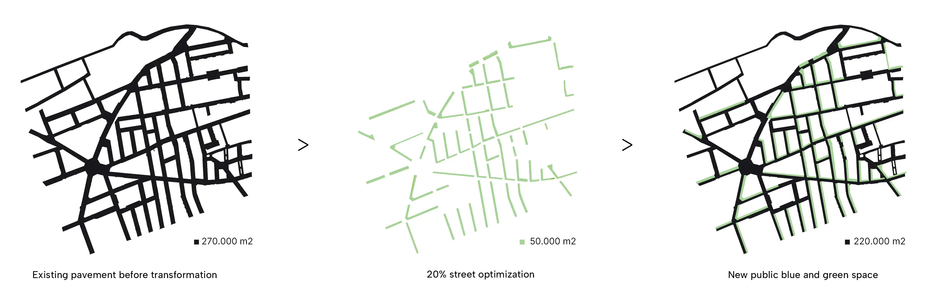
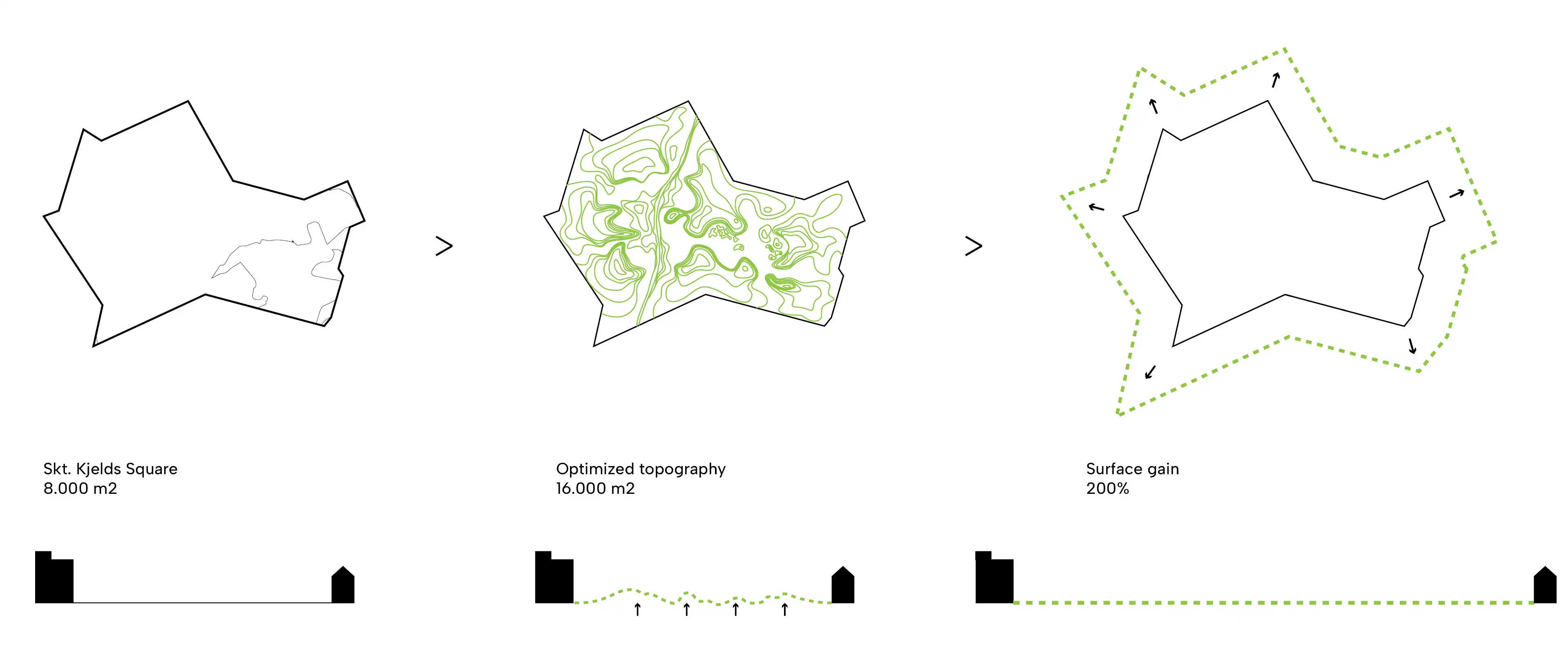
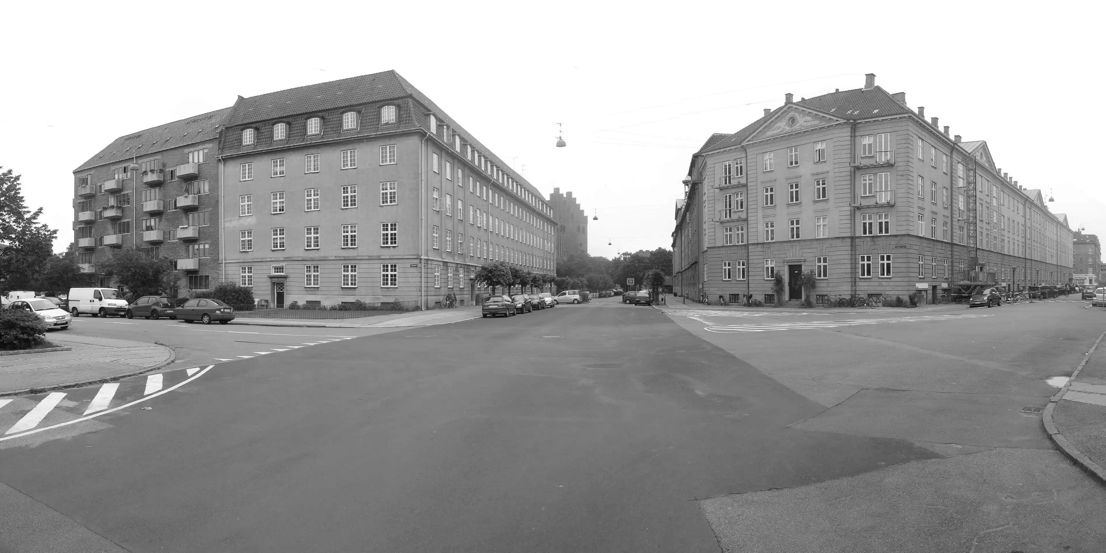
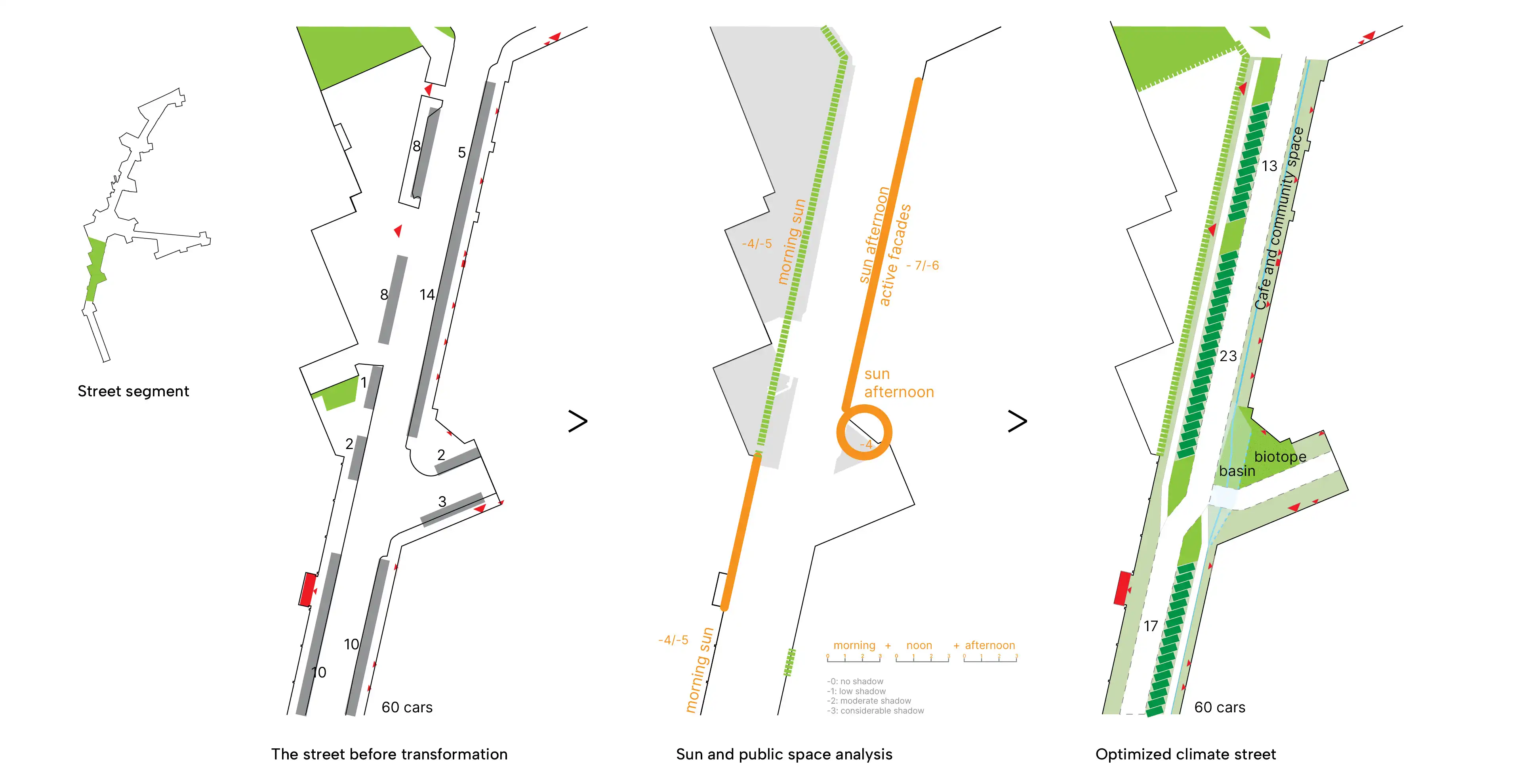
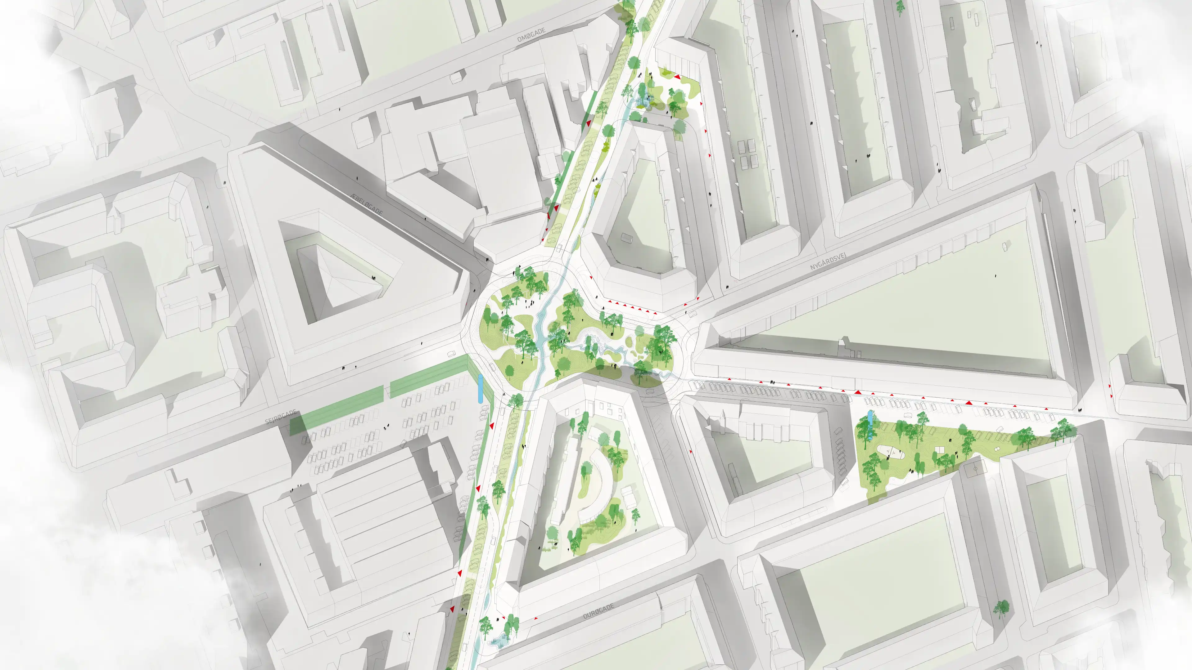
Analysis showed that almost 20 percent of the district’s public space consisted of surplus road area, oversized intersections and other hard surfaces that could be repurposed without compromising accessibility. This latent space became the foundation for a new blue-green network.
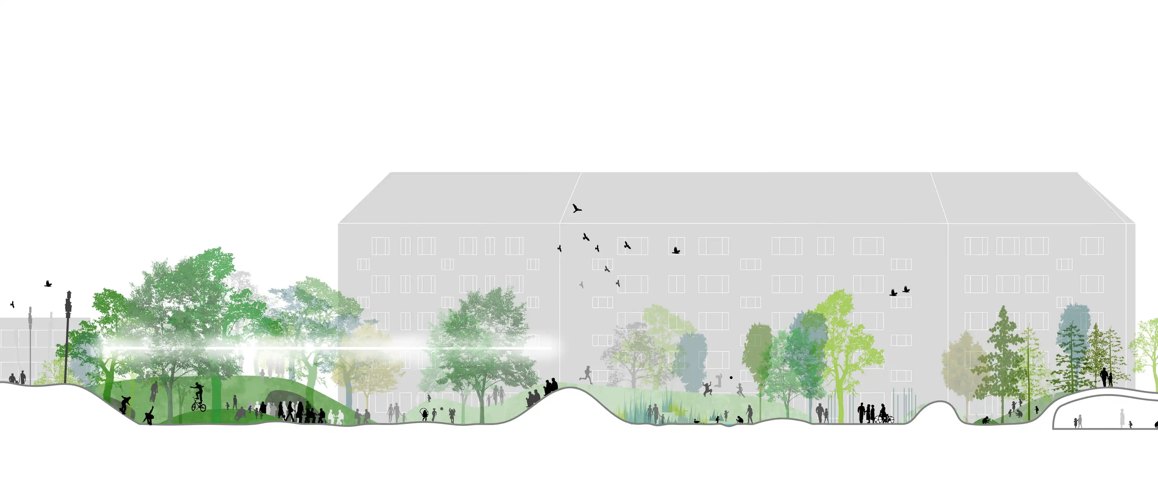
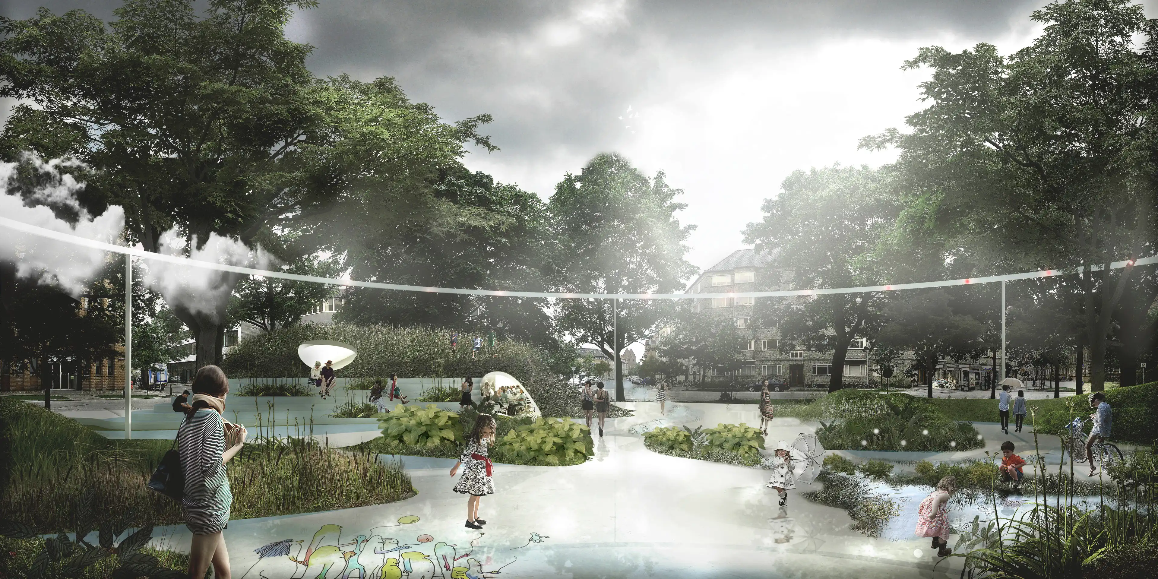
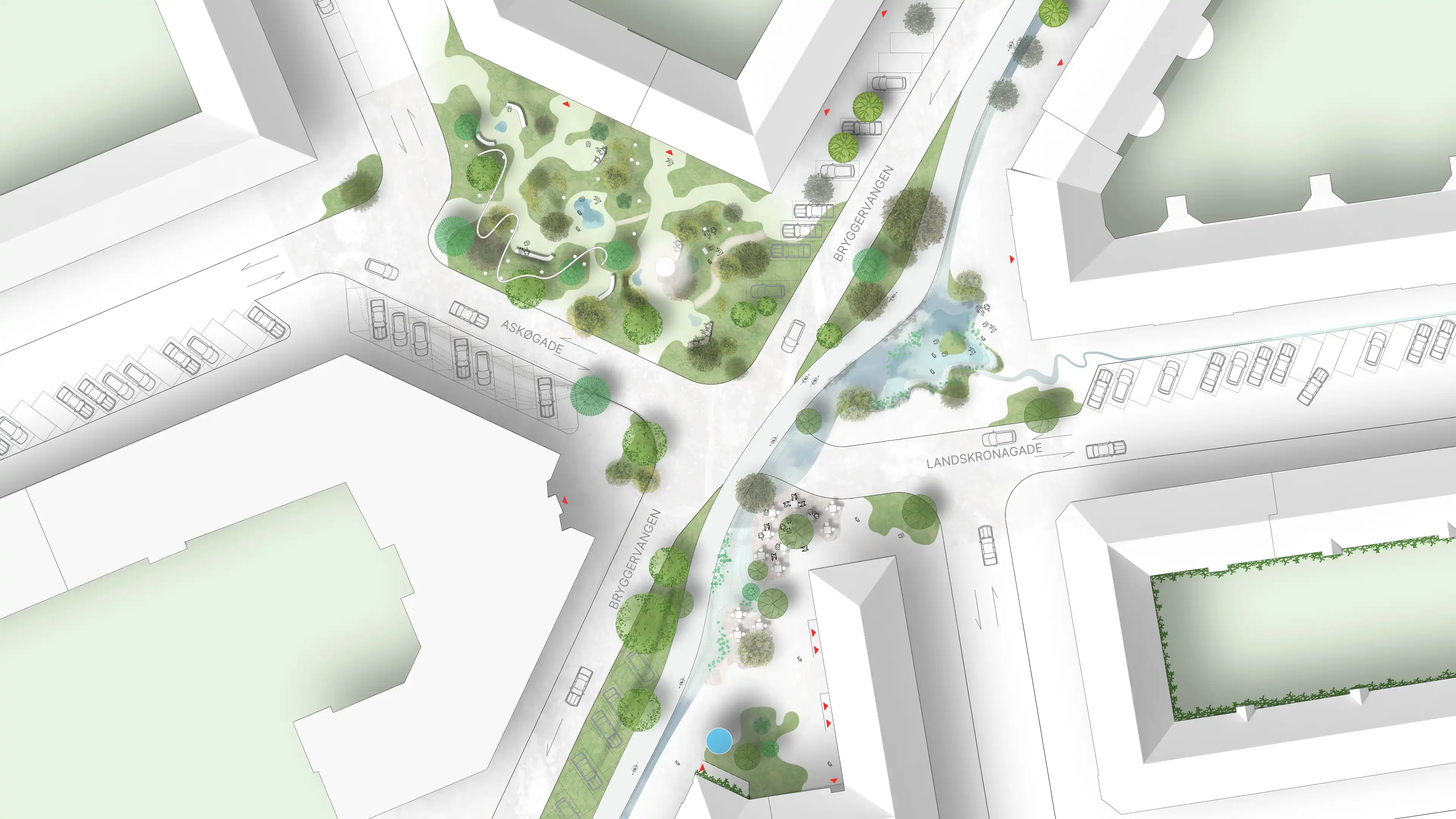
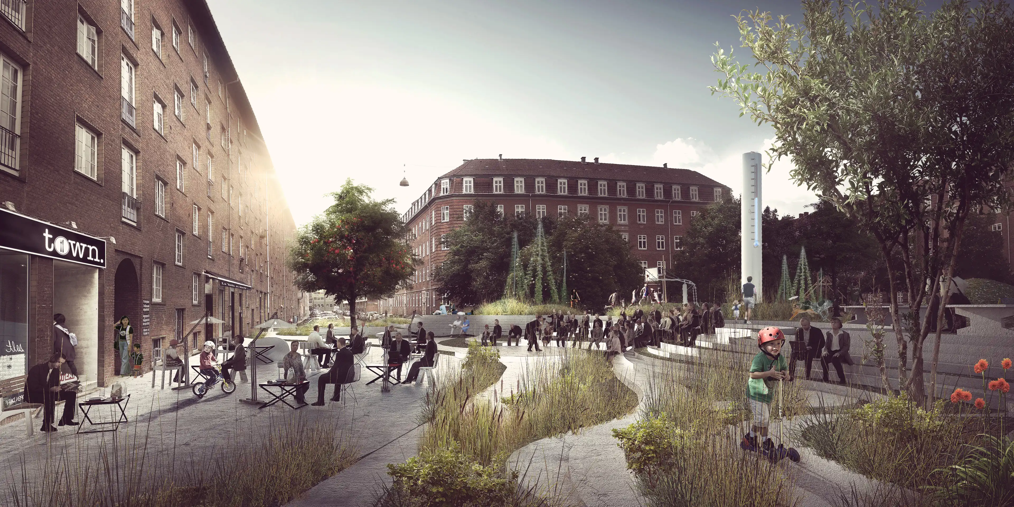
Streets could guide cloudburst water, plazas could retain rainfall, and vegetation, soil and topography could slow, absorb and evaporate water. Climate infrastructure became part of streets, public spaces and everyday urban life.
The Climate District demonstrated how the same intervention could perform several functions at once. Water management could create public space. Reduced asphalt could make room for vegetation. Trees could provide shade, cooling and habitat. Green mobility corridors could strengthen both biodiversity and conditions for walking and cycling.
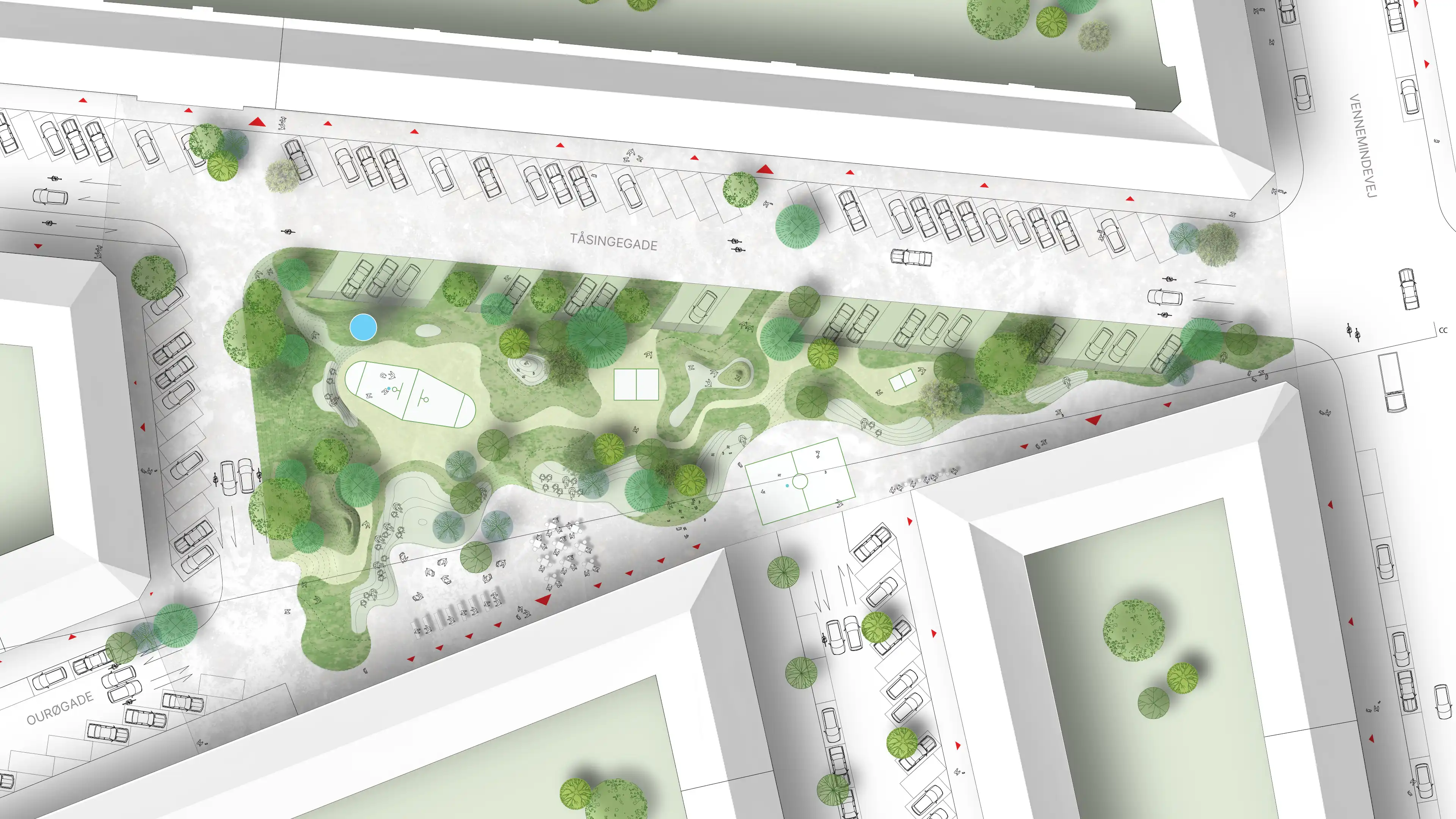
Projects such as Tåsinge Plads, Skt. Kjelds Plads and Bryggervangen translated the strategy into built urban spaces and demonstrated an alternative to separating engineering, landscape and architecture into individual problems.
The result was not simply better flood protection, but a model for using climate adaptation to improve the wider urban ecosystem.
Skt. Kjelds became an international reference for climate adaptation and helped establish Copenhagen’s blue-green approach as a model for other cities. Its principles travelled through research, exhibitions, city networks and international collaborations.
More than a decade later, the important point is no longer that these ideas are experimental. We know how to retain water locally, remove unnecessary hard surfaces, increase tree cover, reconnect habitats and combine infrastructure with better public space.
The solutions exist. The unresolved challenge is implementing them at the scale and speed that climatic and ecological change now require.